Module 2
Unsupervised Classification for Land Use / Land Cover Mapping
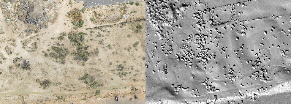
Description: This module explores the process of identifying and categorizing land cover types in a satellite image using an image clustering algorithm that requires with limited human input. In addition, an investigation of various accuracy assessments associated with this classification method is provided.
UNSUPERVISED CLASSIFICATION DOWNLOAD