- November 2016 - Dr. Chris Lippitt and the GEM Lab, working with SDSU and defense contractor BAE Systems complete critical infrastructure management project
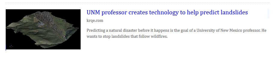
- August 2016 - Dr. Chris Lippitt's work on modeling post-wildfire mass wasting gets attention on local news station KRQE
- August 2016 - UNM Newsroom features Geography and Environmental Studies Professor Chris Lippitt's research into the use of remote sensing to improve fire disaster response times and effectiveness
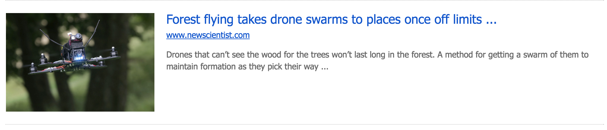
- July 2016 - Dr. Chris Lippitt comments on using the abilities of advanced technologies such as drone swarms to revolutionize remote sensing
- January 2016 - GES master’s student Andy Loerch has received a Marshall Plan Scholarship to spend three months in Austria conducting research. He will be working with Dr. Gernot Paulus at Carinthia University on a project titled “Change Detection from Structure From Motion – The Impact of Repeat Station Imaging.” This project involves the use of remote sensing technologies, such as unmanned aerial vehicles and aerial triangulation, and high-tech GIS tools, such as real-time-kinematic (RTK) global navigation satellite systems. Congratulations to Andy for this honor!
- June 2015 - Dr. Chris Lippitt’s Edited volume “Time-Sensitive Remote Sensing” released by Springer Press
http://www.springer.com/us/book/9781493926015
- June 4nd, 2015 - GEM student all-star Su Zhang recieves the Hexagon Geospatial Education Challenge Award for his paper: Pavement Surface Cracks Detection and Assessment Based on Hyper-spatial Resolution Natural Color Digital Aerial Photography
Articles:
http://www.hexagongeospatial.com/solutions/education/education-contest
http://www.prweb.com/releases/2015/06/prweb12765333.htm
Video Interviews:
with Su Zhang - https://embed.widencdn.net/video/intergraphhub/ebetw7fyks?u=kgakme
with Chris Lippitt - https://embed.widencdn.net/video/intergraphhub/e8hkphthcr?u=kgakme
Su Zhang's Presentation with Powerpoint and Audio (June 4th):
http://www.hexagongeospatial.com/resources/webcasts
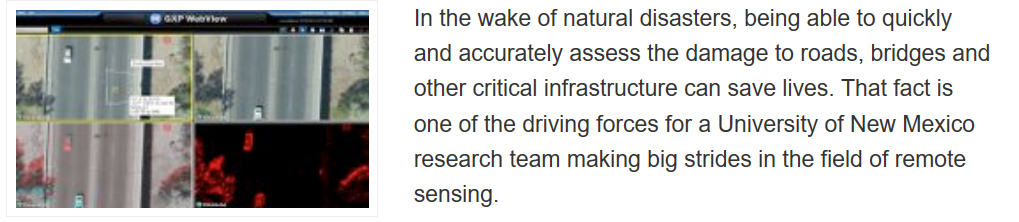
- March 4th, 2015 - UNM Newsroom press release on the DOT Remote Sensing Project - UNM Researchers Take to the Skies to Assess Infrastructure Damage
http://news.unm.edu/news/unm-researchers-take-to-the-skies-to-assess-infrastructure-damage
- Feb. 17th, 2015 - UAS Vision covers the NSF Critical Infrastructure Project
http://www.uasvision.com/2015/02/17/uas-to-assess-disaster-damage/
- Feb. 12th, 2015 - An article about the NSF Critical Infrastructure Project appeared on the front page of the San Diego Union-Tribune yesterday, along with the same story on SignOnSanDiego.com
http://www.utsandiego.com/news/2015/feb/12/drones-aerial-response-disaster/
- Feb. 9th, 2015 - The Daily Aztec (SDSU campus newspaper) did an online story about the NSF Critical Infrastructure Project
(Disclosure: Doug Stow is affiliated with the department of Geography at SDSU, not Geology)
http://www.thedailyaztec.com/62829/news/sdsu-developed-drone-software-to-detail-disaster-damage/
- Feb. 6th, 2015 - Homeland Security News Wire picks up the news story about the NSF Critical Infrastructure Project
http://www.homelandsecuritynewswire.com/dr20150206-beforeandafter-aerial-imagery-of-infrastructure-to-help-first-responders
- Feb. 3rd, 2015 - Channel 6 San Diego (CW network) 10 pm news did a piece on the NSF Critical Infrastructure Project
http://www.sandiego6.com/news/local/SDSU-professor-using-drones-to-prepare-for-disasters-290751621.html
- Feb. 3rd, 2015 - SDSU communications put out a press release regarding NSF Critical Infrastructure Project
http://newscenter.sdsu.edu/sdsu_newscenter/news.aspx?s=75413